1. Start to Lavington Stud
Standing on the road with your back to St Giles Church (facing the infant school opposite), turn right along the road. Continue past Coach House Cottage and Church Farm on your right and, a few metres later, follow the main lane which swings left to reach the ornate Graffam Gate for Lavington Park. Pass through this gateway and you will pass West Lodge on your right, which once would have served the mansion within Lavington Park.
Keep ahead on the driveway and immediately on your left, you will be rewarded with amazing views across the horse paddocks and far beyond. On clear days you will be able to see Petworth House and the town on the far edge of this horizon.
Further along the driveway, just after the left-hand hedge steps back from the roadside, you will pass a particularly magnificent oak tree on your left. This is a reminder of the history of these 55 hectares of parkland, which dates back to the 1500s. There has been a mansion at the centre of this parkland since around 1589, although the building has been replaced several times. The estate passed through many hands, including the son of the anti-slave campaigner William Wilberforce and the daughter of the famous architect Edwin Lutyens. During World War II the property was the Commando Headquarters and afterwards, it was bought by the present owner, the independent school Seaford College.
About 50 metres beyond this oak tree, you will come to a fingerpost marking a crossroads of footpaths. Turn left here, passing through the pedestrian gate to enter the grounds of Lavington Stud.
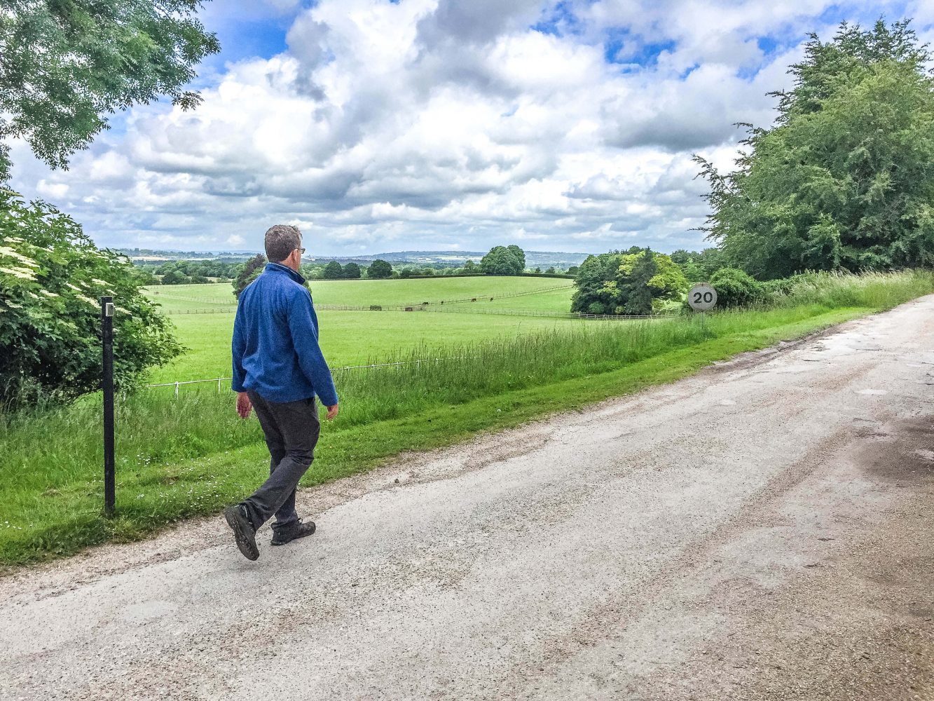
2. Lavington Stud to Calloways House
Follow the driveway ahead with fenced paddocks and pastures on each side. Within these fields, you will see a mixture of sheep and racehorses (with adorable foals in the spring and summer months).
Lavington Stud was founded by Lord Woolavington in 1890 when he was the owner of the mansion and park. The Stud, uniquely placed at the foot of the South Downs, was originally a dairy farm. Woolavington recognised that its rolling chalk grassland, fed by natural spring water and protected from adverse weather by hills and woodland, provided a perfect location for breeding horses. The horse that brought fame to the stud was the undefeated Hurry On. His six victories included the New St Leger of 1916 at Newmarket and he went on to father many other race winners. When Lord Woolavington died in 1936, his daughter sold the mansion but kept the stud and it remains in the same family today.
Stay with the main driveway which passes to the right of all the Lavington Stud buildings. At the top of the small rise (with a flint and brick cottage on your left), take a moment to look back over your right shoulder where you will have a pleasant view of the mansion at the centre of the parkland.
Keep ahead on the driveway (heading steadily downhill) until you come to the next junction of paths, marked with a fingerpost. Turn left here and follow this side branch of the driveway, with a hedge on your left and paddocks on your right. When the hedge on your left ends you will have great views across to the steep woodland slopes of the South Downs ridge. Stay with this tarmac drive for some distance, bending right then left and leading you between old barns on your right and Calloways House on your left.
3. Calloways House to End
Follow the driveway as it swings left, passing the entrance for Calloways House on your left, to reach a fork (marked with a fingerpost). Take the left-hand branch and follow this driveway with fenced trees to your left and a fenced pasture on your right.
Towards the top, you will pass the infant school and its playground on your left. Pass through the gate at the top and you will emerge onto the lane, opposite St Giles Church. The church was rebuilt in the 1870s as a memorial to Bishop Samuel Wilberforce, son of William Wilberforce. Bear left along the lane, and you will come to the roadside parking where this walk began.