1. Start to Centurion Way
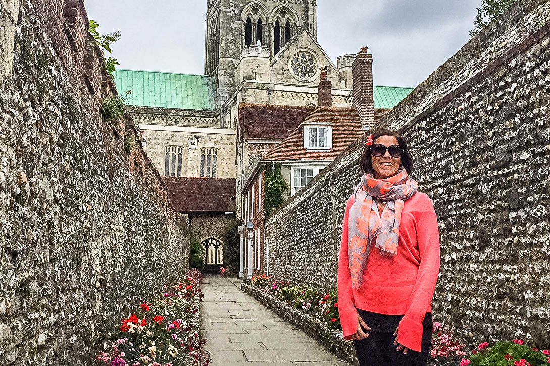
The walk begins on West Street, directly alongside Chichester Cathedral. Before you set off, it’s well worth exploring the cathedral both inside and out. At the rear, you’ll find beautiful old cloisters that lead you through to the Bishops Palace Gardens. The cathedral was founded in 1075 and its tall spire and proximity to the sea mean it is the only medieval cathedral in England that is used by sailors as a landmark. Between mid-April and mid-July, visitors are treated to a more natural spectacle. Peregrine falcons have been nesting in the cathedral turrets since 2001. The first pair of falcons raised 46 chicks together between 2001 and 2013. In 2014 two new peregrines claimed the site and have nested here every year since. Live camera feeds and telescopes on the lawns give visitors a close-up view of the adorable white chicks enjoying their meaty meals!
Standing on West Street with your back to the cathedral, turn left (heading west) passing the cathedral and then the statue of St Richard, both on your left. Stay on this left-hand pavement and, at the roundabout, cross over with care to go straight ahead into Westgate. Follow this road passing some pretty terraced cottages, long stretches of old flint wall and some larger detached houses.
At the mini-roundabout, cross over to go straight ahead into the continuation of Westgate. Almost immediately you will be forced to swap to the right-hand pavement. You will come to a vehicle turning circle outside Bishop Luffa School. Follow the right-hand pavement, crossing over the school’s entrance drive and then bear right to join the tarmac walkway and cycleway, the Centurion Way.
2. Centurion Way to Brandy Hole
Follow this tarmac path, with the school’s boundary fence running on your right. Pass under a metal sculptural arch, the first of several sculptures that have been installed along the Centurion Way. This one, called Roman Archway, was created by Richard Farrington with the help of pupils from Bishop Luffa School.
Ignore the footbridge to your left, simply keep ahead along the main tarmac path. Stay on this tarmac path, ignoring any paths signed off to the sides, with the edge of Chichester on your right and open countryside to your left. Remember to watch out for cyclists. When you reach a fork, take the left-hand branch (the main tarmac path) which leads you alongside an old rail bridge on your right.
The Centurion Way was once the Chichester to Midhurst Railway line. This section between Lavant and Chichester closed to passengers in 1935 and was used for the transportation of sugar beet and gravel until it was closed completely in 1991. The tracks were removed in 1993 after which it was bought by the county council ready to be converted into a footpath and cycleway. The name Centurion Way was suggested by a local schoolboy since the path crosses the course of a Roman road.
Continue for some distance further, passing under three bridges along the way. Just before this third bridge, you will find an information board marking the site of Brandy Hole Copse. This nature reserve is accessible via the path to your left, should you wish to extend your walk. It gets its name from a nearby smugglers’ cave in which a barrel of brandy was found in 1881, during the construction of the rail line. But don’t waste your time searching…all remaining contraband spirits have long since gone!
3. Brandy Hole to A286
Continue your journey along the Centurion Way. Beyond the section with enclosed woodland banks on each side, the path rises gently. Just before you reach the next bridge overhead, you will come to a large circular grass meadow on your left. This grass amphitheatre is ideal for a picnic, nature spotting or simple basking in the summer sunshine. You will find the next of the sculptures on your right here, The Chichester Road Gang by David Kemp, resembling road workers carrying tools, but made from metal canisters. It is at this point that the now invisible Roman road once crossed the route.
Ignore the path signed to your left, instead keep straight ahead (signed to Lavant) and pass under this fourth bridge. About 200 metres before you reach the next bridge overhead, look out on your right for a wooden boardwalk ramp that zigzags up to a residential road. Take this ramp and then keep straight ahead on the paved residential road, Meadow Close. Follow this road as it swings right and then left to reach a T-junction with the A286.
4. A286 to Fordwater Road
Turn left along the pavement passing the Earl of March, a high-end pub, on your right (one option for mid-walk refreshments). Immediately after the pub buildings, cross over the road with care to turn right into the pub’s car park (signed as a public footpath). Cross the pub car park and pick up the signed grass footpath which leads you across the centre of a crop field. Ignore the path signed to the right, simply keep ahead to the end of the crop field and you will emerge into the corner of the village cricket field in East Lavant.
Keep straight ahead along the edge of this field, staying close to the road running on your left. Beyond the road, you will see the river Lavant running in front of the houses. This beautiful river flows south through Chichester before flowing out to the sea. Continue to the end of the cricket field (by the war memorial) and you will emerge out onto the pavement. Bear left to cross the side road and continue ahead on the left-hand pavement of the main road which leads you across the River Lavant.
You will pass Manor Farm and then St Mary’s Church on your left. Continue ahead, taking care of traffic for the short section without pavements, and you will come to your second option for mid-walk refreshments on your left, The Royal Oak. With the Royal Oak on your left, cross over the road to turn right into the small side road. At the bottom of the slope, you will come to a T-junction, turn right along Lower Road, taking care of any occasional traffic. Continue all the way to the end of Lower Road to reach the T-junction with Fordwater Road.
5. Fordwater Road to Oaklands Park
NOTE: This next short section follows the edge of this road which, whilst part of a named right of way, can be busy and fast-moving so be vigilant and take care of traffic. Turn left along the road. Partway along, at a gap in the hedge on your right, you can swap to use a footpath that runs parallel to the road (just behind the hedge). This path can get overgrown at times so make your own choice but be careful if you stay with the road.
Whichever you have chosen, you will come to a left-hand bend in the road. Turn right here, to join the dead-end branch of Fordwater Road, a tiny tarmac lane. Pass the water treatment works on your right and continue ahead on the stone and dirt track. This track will lead you to an old ford within the River Lavant, the perfect spot to pause and enjoy these peaceful surroundings. If you are lucky, you might see the blue flash as a kingfisher flies by.
Stay with the path which bears left here and continue with the river running on your right. At the end of this section, you will emerge via a gate to reach a junction with a driveway. Turn right along the driveway and follow it as it crosses back over the river Lavant. Stay with this tarmac drive as it leads you between occasional houses before becoming a residential road with pavements.
Continue ahead, following the left-hand pavement and at the T-junction bear left (staying with the same pavement). Continue along this road for about 500 metres, passing houses on your left and townhouses sitting behind a tall brick and flint wall on your right, Roussillon Park. This housing development sits on the former Roussillon Barracks site, once home to the Royal Sussex Regiment and the Royal Military Police. At the crossroads turn right into Wellington Road. Keep ahead for 50 metres and then turn left, passing under the vehicle barrier to reach the parking area alongside Oaklands Park.
6. Oaklands Park to Northgate
Walk straight ahead through the car park and pass to the right of the rugby club building. Where the paved path ends, simply walk ahead across the grass with the rugby pitches to your right and a tree line running on your left. Just after passing a timber adventure playground on your left, you will come to a junction with a surfaced path.
Cross over this path and join the grass ahead, walking at about 1 o’clock (heading for the spire of Chichester Cathedral visible in the distance). As you draw level with Chichester Festival Theatre on your left, join the paved roadway which leads you between the Festival Theatre on your left and the Minerva Theatre on your right. You will emerge into the Northgate car park.
Walk diagonally right through this car park (still heading for the cathedral spire). In the far corner, pass to the left of the public toilet block and leave the car park via the black pedestrian gates. Take the steps or slope down to pass through the subway in front of you. At the far side, turn right up the slope and keep ahead along this pavement which soon swings left into Northgate.
7. Northgate to End
Keep ahead along Northgate which leads you between a number of tempting pubs and cafes intermingled with independent stores selling everything from wine and flowers to antiques, comics and clothes. At the end of Northgate, you will come to the octagonal ornate stone market cross, Chichester Cross. This dates from the 1400s is considered to be the most ornate example in the country. Turn right here into West Street and you will come to the cathedral on your left where your walk began.