1. Start to Bury Village
Leave Amberley Station into the car park alongside Amberley Museum. Turn left, following the access lane down to a T-junction with the main road. Cross over with care and turn left along the pavement, following it under the railway bridge. Immediately after the bridge, turn right to join the gravel driveway signed as a public footpath.
Pass through the gap alongside the wide wooden gate and stay on the obvious track which leads you past a caravan site on your left. At the fork, keep left then stay with the path as it climbs and swings right with the River Arun running on your left and a fence running on your right.
When the fence on the right ends, cross the stile ahead (NOTE: you may come across cattle from this point) and continue along the riverside embankment path. Ignore the footbridge over the river, simply continue along the same riverside path with the river running on our left. The path bends right (heading northwest for a stretch, crossing the next stile along the way) and then swings right again (now heading north-east). Continue just until you reach a waymarker post set on the left, with the school, houses and church of Bury village visible on the opposite river bank.
2. Bury Village to Amberley Castle
Turn right here, leaving the riverside embankment and following a subtle grass track across the (sometimes waterlogged!) meadows to reach a wide gate. As you approach the gate, the path leads you over a drainage ditch. Cross the stile to the left and, with your back to the gate, walk at about 11 o’clock across the meadows. Continue in this direction, crossing two more stiles. A few metres later, the path becomes a track through a line of tree and then opens up once again to reach a railway crossing.
NOTE: The crossing is unsignalled so look and listen for trains carefully before you cross. Cross via the two stiles and continue ahead on the narrow path between sections of hedgerow. Soon, this path leads you behind the impressive remains of Amberley Castle on your right. Once the fortified manor house belonging to the Bishops of Chichester, today the castle is a private hotel.
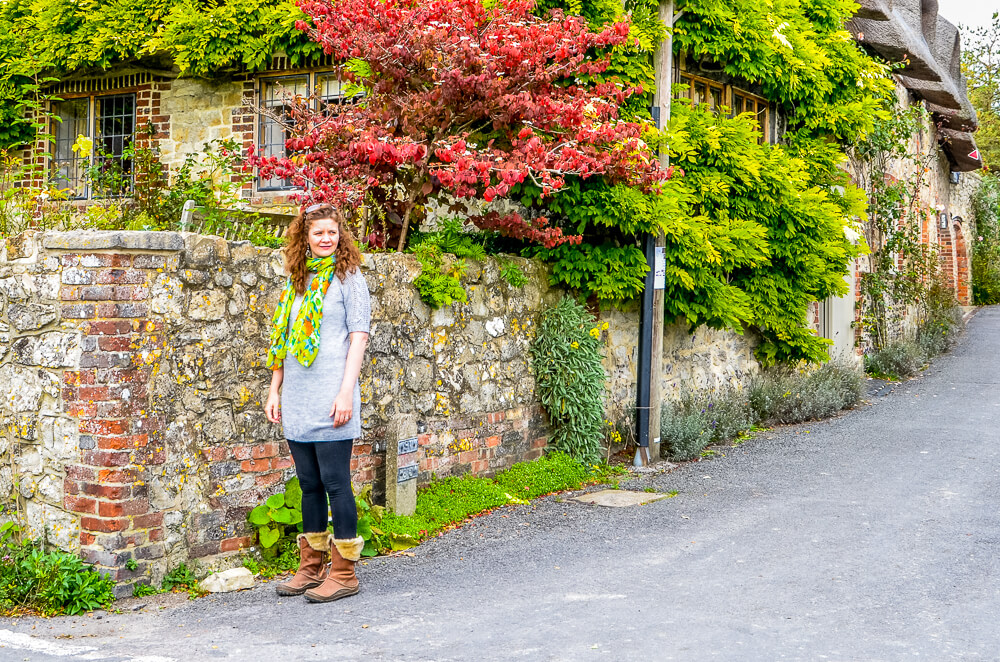
3. Amberley Castle to Corner Cottage
Keep ahead on the path which widens to become a stone track, passing a pond on the left and then swinging right to pass the thatched Rock Cottage and beyond this the village church, both on the right. Stay on the quiet road through the centre of the village, passing Amberley Pottery on the right. Soon afterwards, turn left into the tarmac side road and follow this as it swings steadily right between many more quaint cottages. You will emerge to a T-junction with the old village pub (sadly, it is currently vacant) ahead.
Turn right, heading downhill, and passing the village stores and post office on the left. Ignore the next turning on the right and a few paces later you will come to the Amberley Tea Room on the left (seasonal opening times), the perfect place to pause as muddy boots and well behaved dogs are welcome! There’s something about spending time with family that gives you licence to indulge so it’s cream tea all round for us…and we find out that all the crockery is made at the pottery that we just passed, how beautiful. Continue ahead on the road, passing the school on the left and leading you out of the village to reach a crossroads alongside Corner Cottage.
4. Corner Cottage to End
Cross over with care and take the small lane ahead, Mill Lane. The lane climbs fairly steeply uphill between steep banks. With this little workout on the edge of the South Downs, I won’t need to kill myself at the gym to burn off the calories devoured at the tea room! At the top of the hill you will come to a staggered T-junction. Turn right, following a tarmac lane steadily downhill, signed as part of the South Downs Way. Where there are breaks in the hedgerow to the right, take time to glance over and appreciate the views that your climb has rewarded you with.
Further down on the left, some small wooden bollards mark the entrance to High Titten picnic site. This is a great place for a picnic and it’s even possible to stay overnight here. Continue down the road and you will reach a T-junction with New Barn Road. Cross over with care and turn left along the pavement, continuing downhill. The road leads you down past the museum entrance and on to reach Amberley Station on your left, where the walk began. If you enjoyed this walk, remember to visit www.west-sussexweekends.com where you will also find ideas for places to stay, eat and drink plus plenty more inspirational stories to tempt you to explore more corners of West Sussex.